


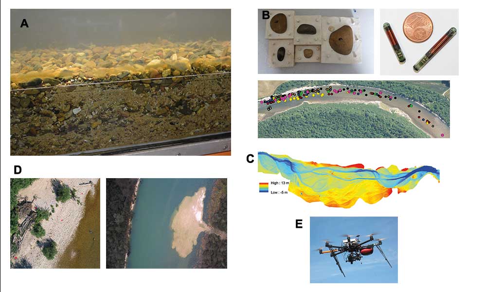
What is geomorphology?
PDFGeomorphology is a scientific discipline that studies the shapes of the earth’s landscape and their evolution. The so-called “fluvial” geomorphology is thus interested in the beds of rivers and their evolution. Depending on the countries and the scientific schools that run it, river geomorphology is taught in geography, geology or engineering sciences (fluid mechanics, hydraulics). It is in fact an interface discipline that is enriched by these different disciplinary perspectives. In France, “fluvial geomorphologists” are mainly geographers and more rarely geologists. They often work closely with river hydraulics engineers.
All of them approach the scientific field according to questions that complement each other and build a living interdisciplinarity, particularly in France. The Société hydrotechnique de France, certain national seminars and even major conferences, such as “Gravel-Bed Rivers” or “River Flows”, contribute to promoting these exchanges and scientific hybridization.
References and notes
Cover image. [Source : © Bertrand Morandi]
[1] https://fr.wikipedia.org/wiki/Lidar
[2] https://www.sfpt.fr/hyperspectral/?page_id=168
[3] https://en.wikipedia.org/wiki/Structure_from_motion
[4] Carbonneau P., Piégay H., (2012). Fluvial remote sensing for science and management. John Wiley & Sons.
[5] https://popups.uliege.be/0770-7576/index.php?id=4476
[6] The new edition of “Tools in Fluvial Geomorphology” (2016 – first edition in 2003) thus offers a synthesis in 22 chapters of the field with an entry by techniques and methods.